

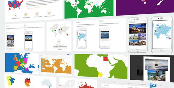
Super Interactive Maps for WordPress v1.9 is a feature-rich plugin that allows you to create visually appealing and fully interactive maps for your website. Whether you’re showcasing locations, routes, regional data, or business branches, this plugin simplifies the process of embedding and customizing maps using Google GeoChart API.
Create Engaging Maps
With support for over 200 countries and all continents, you can highlight regions, states, or individual countries with custom colors, tooltips, and click actions. The interactive nature of the maps helps improve user engagement and delivers information in a visually intuitive format.
Highly Customizable
You can add unlimited markers with custom icons, animations, and popup content. Each map is fully responsive, making it look perfect on all screen sizes. You can even use shortcodes to display maps anywhere on your site—posts, pages, or widgets.
User-Friendly Interface
The plugin is built for ease of use. No coding skills are needed—just a few clicks in the WordPress admin panel allow you to design and configure maps quickly.
Conclusion
Super Interactive Maps v1.9 is the perfect solution for websites that need elegant, interactive, and responsive map displays. Ideal for travel sites, business directories, and regional data visualization.